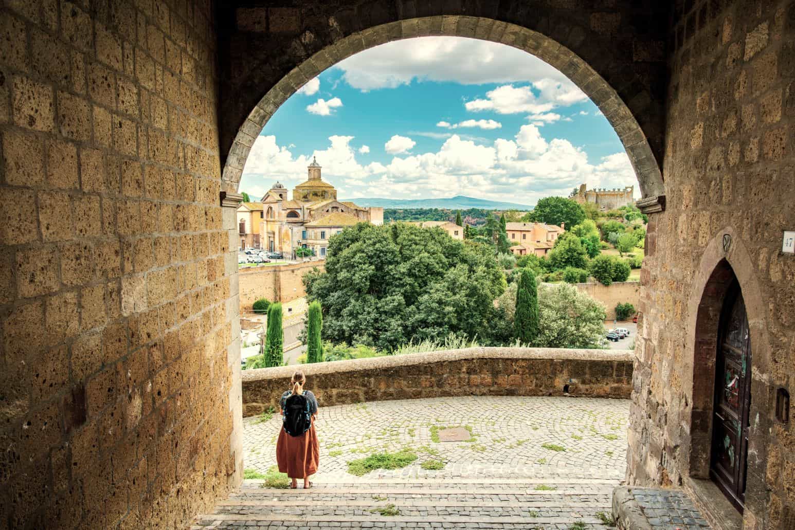

Unique ways to experience Central America
February 20, 2026
With its towering mountain peaks, peaceful alpine lakes and incredible wildflower meadows, it’s no surprise that Georgia is establishing itself as a hiker’s paradise. With more and more flight routes opening, the country’s tourism industry is going from strength to strength and it is easy to see why. The sheer diversity on offer is staggering – ancient wine regions, rich culture and bustling cities sit alongside some of the finest hiking trails in Europe. We consulted our local experts for advice about the best hiking in Georgia
Whether you are getting off the beaten track in Svaneti, the country’s undiscovered northern region, or seeking an iconic view from Kazbegi’s hilltop church, these are the recommendations for hiking trails in Georgia.
Tbilisi is Georgia’s thriving capital city – home to hot springs, an incredible live music scene, and picturesque architecture. There is no shortage of wonderful things to do within its confines, but it can also be an excellent springboard for getting to know the wider countryside.
This is an easy day hike that will take you from the winding streets of Tbilisi to the sleepy village of Kojori. You will start in Vake Park, Tbilisi’s largest public park. There is a giant statue of a woman at the heart of the park, believed to represent victory. Directly behind her is a steep forested path that winds its way upwards. This is the trail you need to take. It is easy to find your way: simply follow the cable car wires overhead, and when you reach the top you will be on the shores of Turtle Lake – a picturesque place to stop for refreshments. From the southwestern edge, a mountain path leads up to a ridge; follow along it and then wander downwards into a woodland area. Wildflowers are abundant here and butterflies can be seen flitting between the trees during the summer months.
Having passed through a walnut grove, the path bends sharply right and meets a four-way junction where you will turn left. Follow the path over the hillside and you will reach a wide ridge offering spectacular views over the Trialeti Mountains. Continue along this ridge road, enjoying the panoramic views on all sides, until you arrive at Udsu church and monastery. From here, you can see the village of Kojori laid out below you. Rather than following the main jeep track, take the path through the woods until it reaches a paved road. Keep right and you will be in the upper part of Kojori village. There are regular bus services leading back to Tbilisi.
If you wish to extend the walk, you can hike to Kojori Fortress. Walk up the hill from the main square, take the first left and then wind around the hillside. About thirty minutes in, you will catch sight of the fortress on the horizon to your west. The rocky ruins date back to the 11th century and cut a dramatic figure against the skyline.

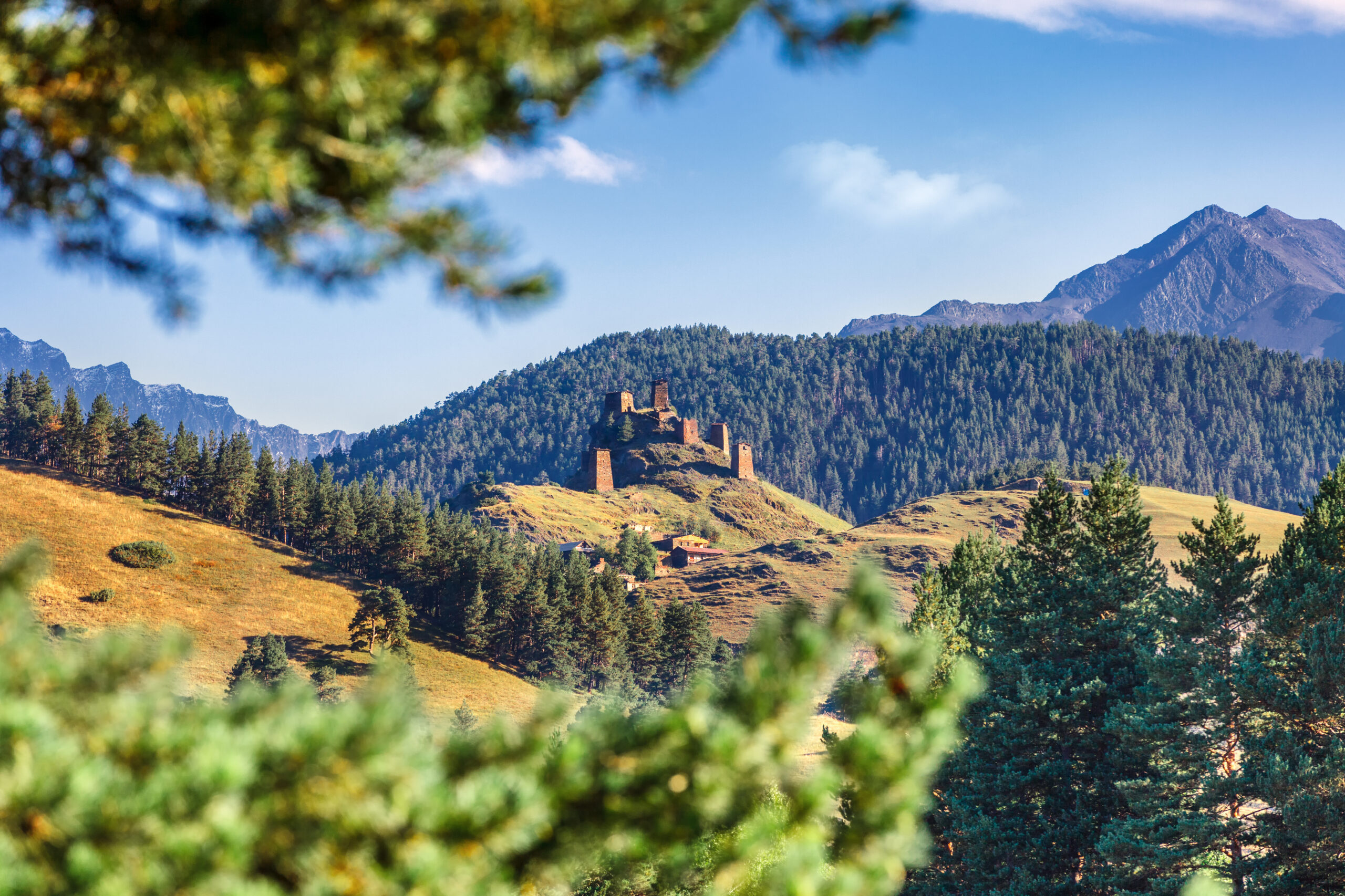
The Kazbegi region is one of Georgia’s most iconic. High-altitude meadows and pastures, tiny rural villages, and the imposing silhouette of Mount Kazbek define the area. Its many hiking trails are paradise for those seeking a true slice of wilderness. Kazbegi is connected to the rest of the country by the Georgian Military Highway. This highway runs between Tbilisi and Vladikavkaz, the capital city of Russian North Ossetia. Although the route has been used for centuries, it is even referenced by Greek geographer and philosopher Strabo in his book Geographica. Construction formally began in the early 1800s when the Russians annexed the Kingdom of Georgia, and to this day it is a vital artery – encouraging trade across the mountains and allowing the country’s burgeoning tourism industry to flourish.
Tsminda Sameba Church is one of Georgia’s most iconic sites – a tiny stone building completely surrounded by mountain peaks and forested valleys. It is possible to hike here from the village of Kazbegi and complete the full loop in two to three hours. However, the walk can also be extended (weather permitting) to include the foothills of Mount Kazbek – following in the footsteps of Douglas Freshfield who was the first to summit the peak in 1868.
Starting from Kazbegi village, walk down to the river and cross the Terek bridge. Turn immediately left and the road divides into three. All these paths lead to Tsminda Sameba via slightly different routes. The right-hand one is the easiest, following a jeep track all the way to the church, so novice hikers can opt for this. Our favorite is the left-hand fork which bends slowly upwards alongside a ruined watchtower. Follow the path of the stream and then take the trail up to the right. As you make your way to the top of the hill, you will see the church coming into view ahead of you. Simply walk straight through the wildflower pastures, and you will reach Tsminda Sameba.
For the extension, find the jeep track road that leads up to the church and retrace it back down. Where it crests the hilltop, you will see a path leading up over the ridge to your right. The ridge opens out into a wide valley, sprawling with wildflowers in spring and a blazing beacon of color in fall. Bear in mind as you push on that you are at high altitude, so it is important to take frequent breaks and stay hydrated. You will soon see the tongue of the Gergeti glacier, clearly visible below the imposing peak of Mount Kazbek. The view from here alone is sensational, but you can carry on to the small cliff to the left-hand side of the tongue. From here, you will have a panoramic view of the glacier, mountain peaks, streams and surrounding pastures.

Svaneti is a wild land, locked among mountain peaks and forested valleys. Thanks to its remoteness, it was never subdued by any ruler or invading power and has maintained a traditional way of life for centuries. This combination of ancient culture and alpine scenery makes Svaneti an ideal destination for those wanting to embrace the true heartlands of the Caucasus. Most visitors start their journey in Mestia, the so-called capital of Upper Svaneti, which is a gateway to some of the most spectacular hiking routes in the region.
This easy hike from the centre of Mestia offers spectacular views over the surrounding valleys and the distant peaks of the Caucasus. The shorter loop takes up to four hours, but it can be extended to include higher pastures with panoramic views over the Chalaadi glacier and the peaks of Mounts Ushba and Tetnuldi. For those with sturdy walking shoes and some hiking experience, this two-hour extension is well worth factoring in.
Start in Mestia’s main square and follow the road until it forks into two. Take the right-hand strand and, after a few minutes, the bustle of the town will be far behind you. You will be wandering alongside fenced pastures with the dramatic Mulkhra River raging to your right. As you continue on, the path will start to bear upwards into Mestia’s surrounding forests. During the summer months, these forests are in full bloom with wildflowers, and your path will be fully shaded by the canopy above. After about 30 minutes, you will see the Alpine Lodge – a resort that was developed by the Soviets. It has been abandoned for many years and the building has been almost entirely reclaimed by nature. At this point, you can either walk to the lodge and loop back towards Mestia, or continue on to the higher alpine pastures.
If you choose to go on, head into the field to your right and enter the woods beyond. The path climbs steeply through the trees until it meets a jeep track. Here you will turn right and enter the upper pastures. The trail is easy to follow as it traces along the ridge, offering splendid views over the surrounding area. The Chalaadi glacier laid out before you is a real highlight.

The four-day trail from Mestia to Ushguli, passing through several Svan villages en route, is one of the most scenic and rewarding in the country. It takes you off the beaten track into areas that few tourists have ever seen. Comfortable guesthouses and homestays await in the villages along the way and your local guide can offer fascinating insight into the history and culture of this secretive region.
You will begin in Mestia’s main square and head east down to the river. Cross the bridge, bear left and you will then start to see signposts marking the trail. The dirt track bends steeply upwards, passing through forest and over wildflower meadows, and offering fantastic views of Mount Ushba. You will take a short detour from the dirt road through a thick forest, climbing steeply upwards for around ten minutes before rejoining the road. Passing through the meadows you will reach the highest and most aesthetically pleasing point in the trek – a panoramic view of the Svaneti valley, dominated by the snow-capped peak of Mount Tetnuldi. From here, you can descend along the dirt road into Mulakhi village where you will spend the night.
On your second day, follow the path of the stream out of the village and pass through a series of pastures and light forest. After around two hours of hiking, your dirt trail will wind down to join the main road and you will see the Tetnuldi ski resort. Head east along the road before joining the marked trail that branches off to the south-east. The path gradually descends into a forest and crosses over a small stream before leading to the small village of Adishi. Here, you can spend the night in a local homestay and enjoy a traditional Svan meal.
The third day of the trek is the most challenging as it involves fording the Adishi River. This is best done in the early morning when water levels are at their lowest. If conditions are challenging, the river can be crossed on horseback. On the other side, the path reappears and steadily climbs through fields of wild rhododendrons until reaching the Chkhunderi Pass. The views here are spectacular and the trail continues down into the valley, following the path of the Khaldechala River towards Iprali.
On the final day, you will reach Ushguli – Europe’s highest inhabited village. Leave Iprali by the main road and it will lead you to the neighbouring village of Davberi. From here, there is a clearly signposted path leading to Ushguli. After a short burst of steep uphill, the trail levels out and becomes quite gentle – allowing you to amble at your own pace and enjoy the views. On arrival in Ushguli, you can either organize a transfer for that same afternoon or extend your time in the region. The hikes to Shkhara Glacier and Queen Tamar’s Tower are particularly spectacular.

For further reading, we highly recommend Walking in the Caucasus by Peter Nasmyth. If Georgia’s brilliant hiking opportunities have appealed to you, get in touch with one of our trusted local experts who can help organize your dream Georgian itinerary.
Explore all featured destinations
Join our mailing list for travel inspiration, trip recommendations, and insights from our local experts.